Researchers at the University of Bonn in Germany have developed a low-cost, round-the-clock method for monitoring river water levels, according to a recent press release. The relevant results have been published in the American journal "Water Resources Research".
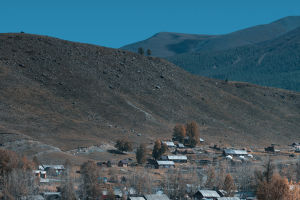
According to the researchers, there are many traditional ways to monitor river water levels. But whether it is a simple ruler or an advanced radar, there are some problems. Such as easy to damage, unsustainable monitoring, difficult to read remotely, and too expensive. Their newly developed monitoring equipment is not only low-cost, reliable, and durable, but also can continuously transmit water levels to relevant departments through mobile communication for drought and flood warnings. The device has been in use in the Weisel region in the lower Rhine for two years.
At the heart of this monitoring device is a low-cost global navigation satellite system (GNSS) receiver that can use satellite signals to measure the distance between the GNSS antenna and the water surface. The GNSS antenna is connected to a microcomputer, which calculates the water level from the original data source and transmits the data through a mobile network. The device can be installed on bridges, buildings, trees, fences, and other objects to measure river water levels around the clock, with an average error of about 1.5 cm.
The researchers said that although the measurement method is not as accurate as radar-based sensors, it has achieved its intended purpose, and the equipment costs less than $150, which is much cheaper than advanced congeneric products. The software they wrote is open-source and free for those interested to use. However, this method also has drawbacks, and currently only works in rivers with a width of at least 40 meters. The researchers plan to further optimize the code, hoping to obtain accurate measurements in narrower rivers in the future.
Water level observation
Water level refers to the elevation of the free surface of a river or other above a certain base surface, in meters.
Purpose of water level observation
The water level is an important symbol reflecting changes in water bodies and currents. Water level observation can be directly used for hydrological information forecasting to provide timely water regime information for flood control and drought relief, irrigation, shipping, and the construction, application, and management of water conservancy projects. Long-term accumulated water level data is the basic basis for the construction planning and design of water conservancy and hydropower, bridges, waterways, ports, urban water supply, drainage, etc.
In hydrological testing, water level records are often continuously observed. The flow rate and its change process are inferred from the relationship between water level and flow.
The water level can also be used to deduce the specific drop of the water surface and the water storage of rivers and lakes. In addition, the water level should also be observed as a sign of water regime while observing flow, sediment, water temperature, ice condition, and water quality.
Factors Affecting Water Level Changes
The change in the water level mainly depends on the change of the water volume Itself and restricts the change of the water conditions.